Hanoi: Rising Red River water levels pose flooding risk
Due to prolonged heavy rains caused by Typhoon Yagi, hydroelectric reservoirs have had to open several floodgates, causing the Red River in Hanoi to rise dangerously close to warning levels.
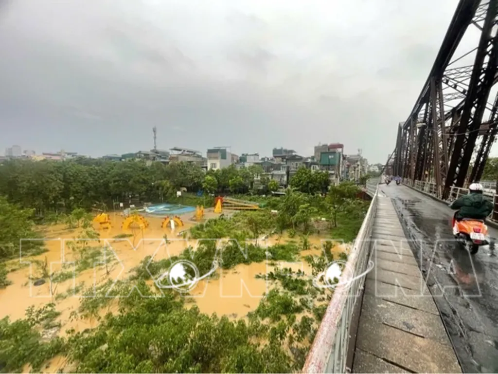
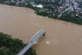
The Red River’s water level rises, coming within just 1 meter of the Long Bien bridge (photo taken early morning of September 10).__Photo: VNA
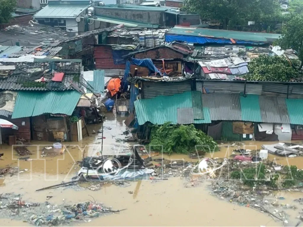
Floodwaters inundate the Phuc Xa area in Hoan Kiem district, impacting local residents’ lives (photo taken at 6:45 am on September 10).__Photo: VNA
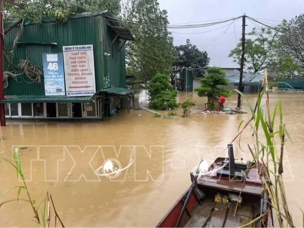
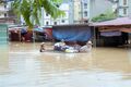
On the evening of September 9, rising river waters began flooding parts of Chuong Duong Do riverbanks. In photo: A motorbike repair shop at the 46 Chuong Duong Do parking area is affected as floodwaters inundate the premises. Street in Chuong Duong ward, particularly in low-lying areas near the Hoan Kiem district.__Photo: VNA
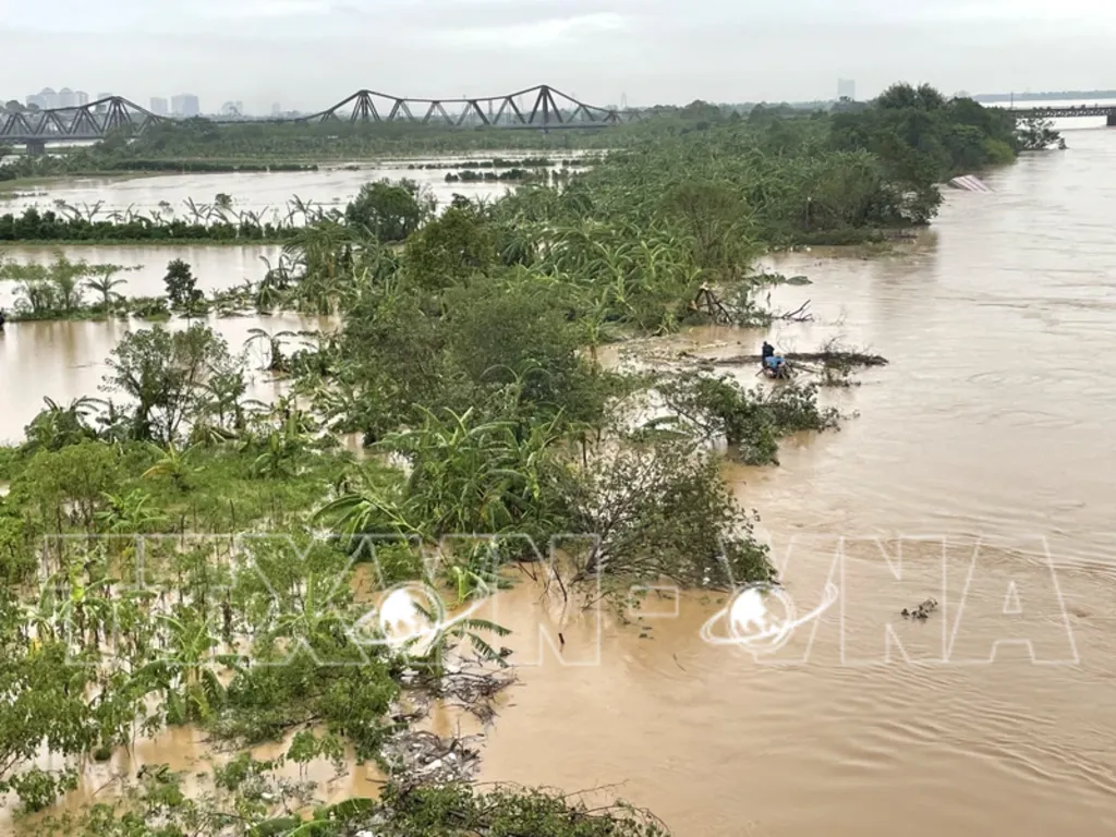
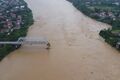
The Red River’s water levels have reached near-warning levels in recent days due to the combined effects of Typhoon Yagi and flood discharge from hydroelectric dams.__Photo: VNA
Some residents relocate vehicles from the 46 Chuong Duong Do parking area as a precaution against further floodings.__Photo: VNA
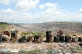
Prolonged heavy rains from the remnants of Typhoon No. 3, along with water released from hydropower reservoirs, have caused river levels in northern Vietnam to rise significantly. In Hanoi, the Red River’s water level is nearing alert level 1, leading to flooding in the riverside area of Phuc Xa.__Photo: VNA
Prolonged heavy rains from the remnants of Typhoon No. 3, along with water released from hydropower reservoirs, have caused river levels in northern Vietnam to rise significantly. In Hanoi, the Red River’s water level is nearing alert level 1, leading to flooding in the riverside area of Phuc Xa.__Photo: VNA
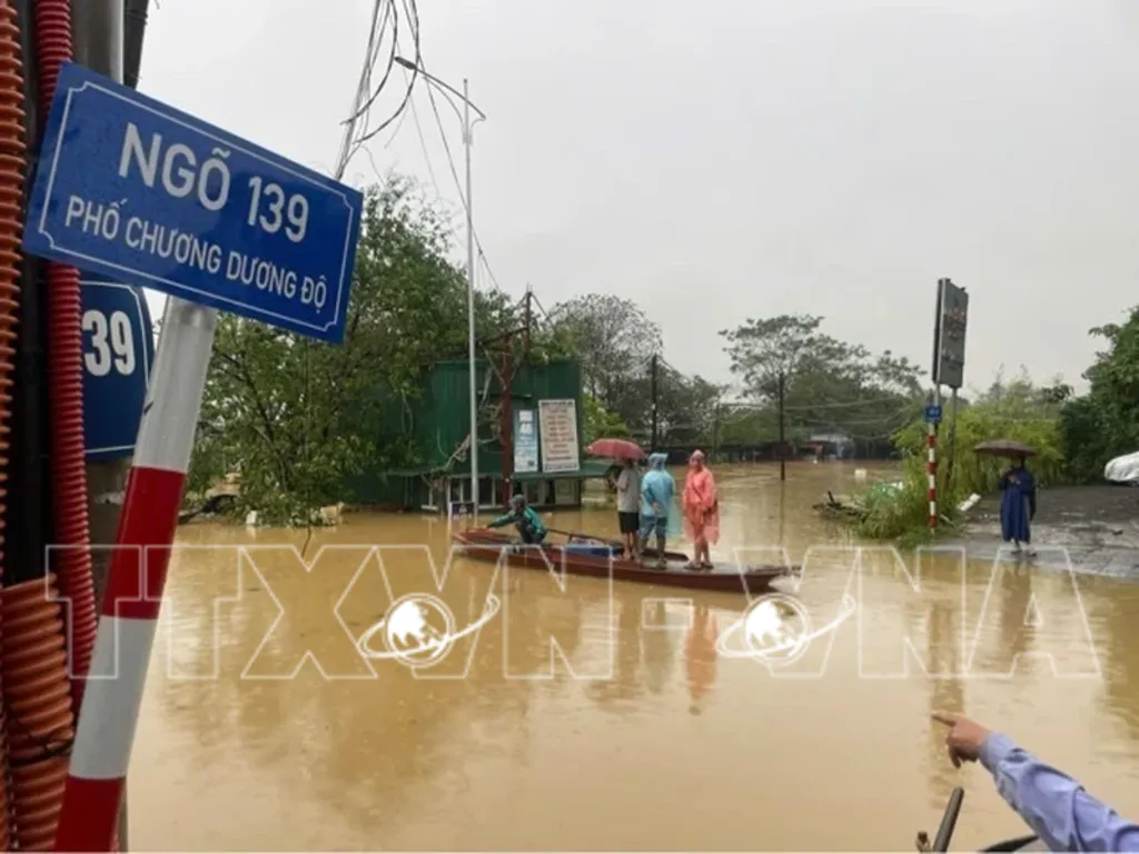
Flooding on Chuong Duong Do Street in Hoan Kiem district forces residents to use boats for transportation (photo taken at 6:45 am on September 10).__Photo: VNA